Images in this collection
Click any photograph to open it full screen, zoom in and read the full caption.
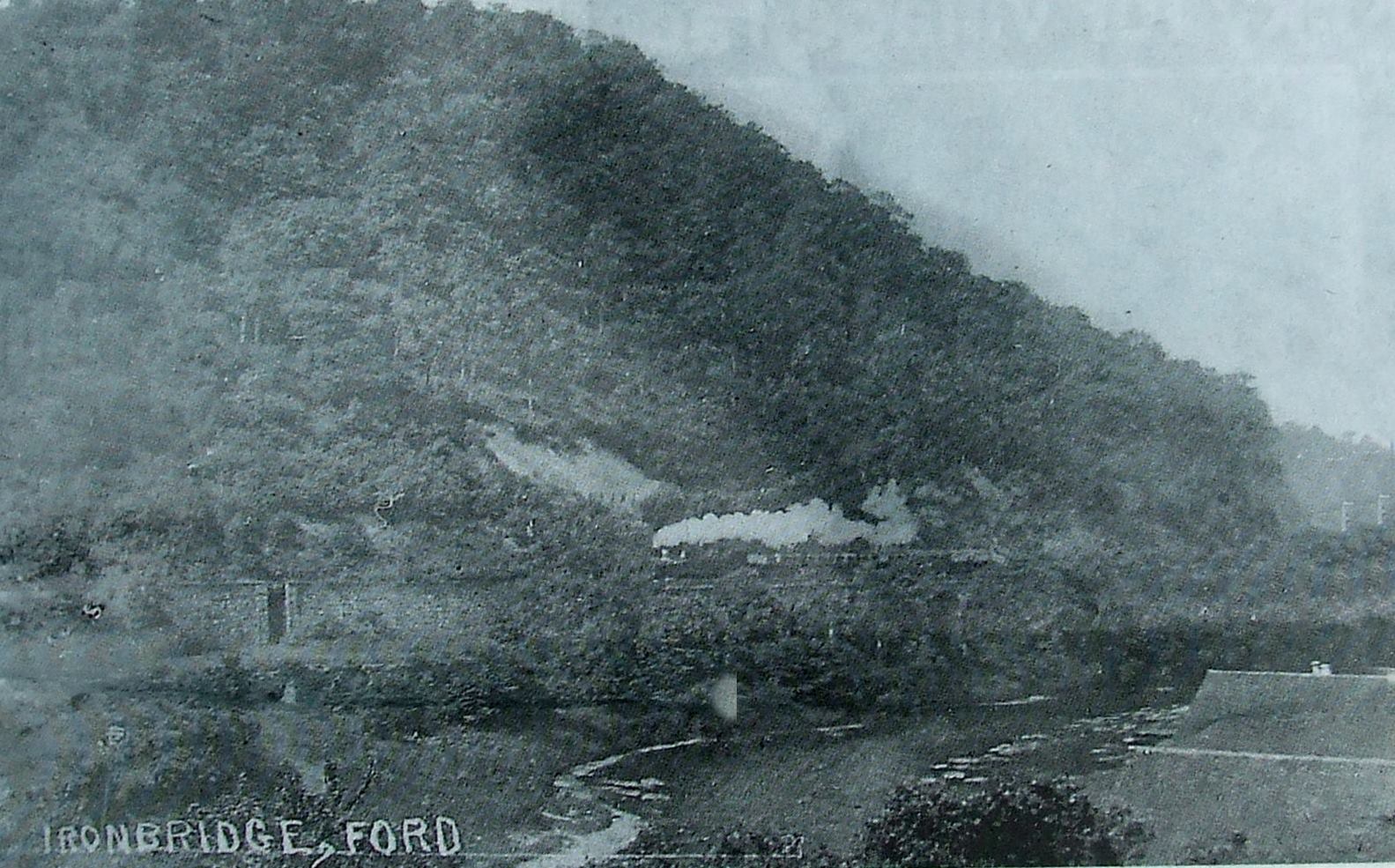
The ford at Ironbridge
Undated
Captioned simply 'Ironbridge, Ford', this grainy, exact date unknown photograph records a crossing point used long before the ferries were formally established and well before the famous bridge was built. At low water, travellers and their goods simply waded or drove carts straight across the riverbed — the oldest and cheapest crossing method of all.
Archive photograph, photographer unknown
The ford, with the railway arches beyond
Early 1900s
The same ancient ford appears here in colour, photographed in the early 1900s, with the railway arches striding along the far bank behind it. The arches are a useful reminder that fords, ferries and railways all coexisted in the Gorge for decades, each serving a slightly different kind of traveller.
Colourised postcard
Fords and ferries of the Severn Gorge
2010
Drawn up in 2010, this schematic map plots every recorded ford and ferry across the Severn Gorge against the line of the later road and rail bridges, stretching from Buildwas down to Apley Park. Seen together like this, the sheer number of crossings reveals just how central the river once was to daily local life.
Broseley Local History Society newsletter, February 2010